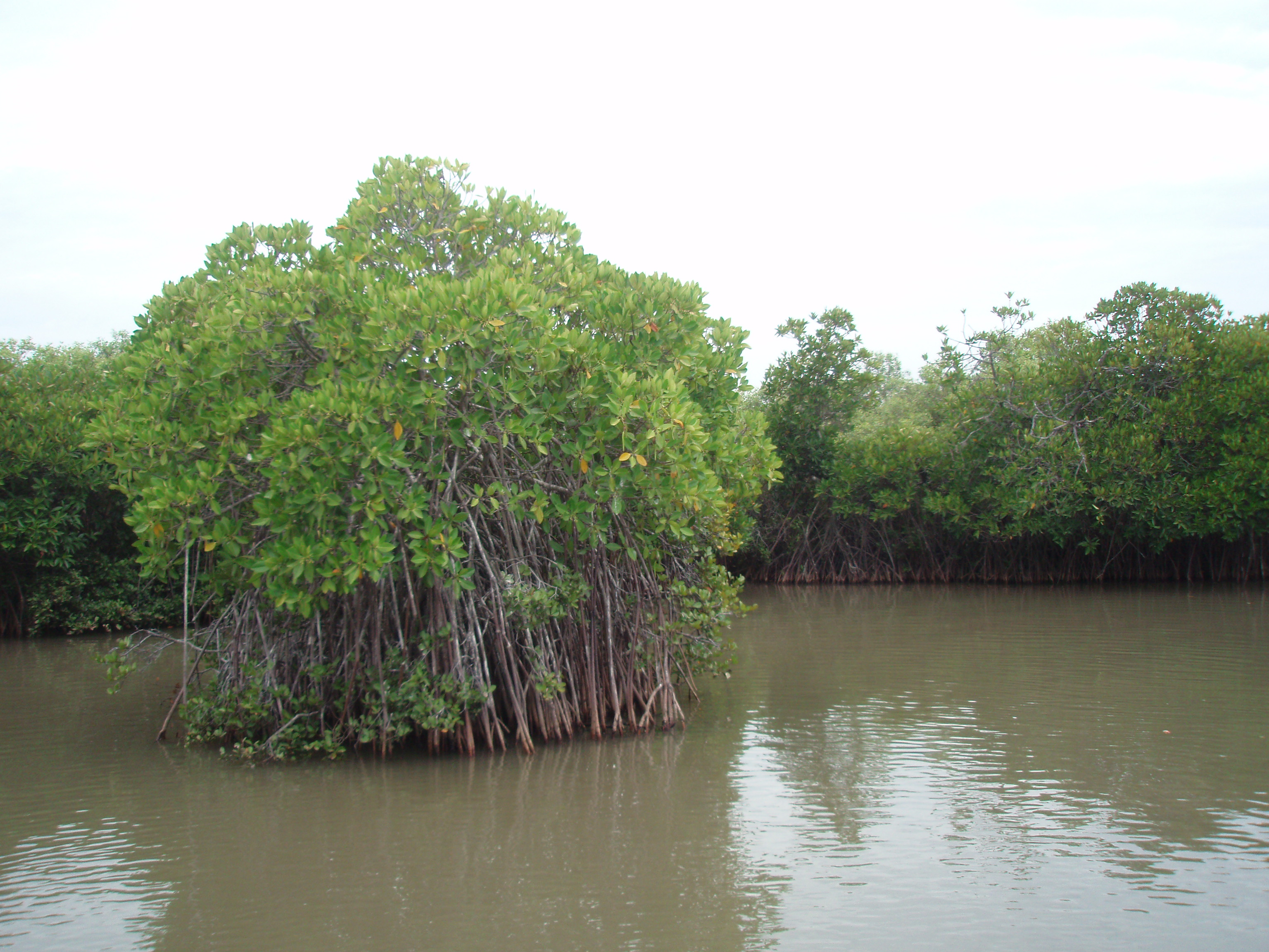
Pichavaram mangroves
The Pichavaram mangroves are located between
the Vellar and the Coleroon estuaries (latitude 11°23';11°30' N and longitude 79°45;79°50' E) in the southeast coast of India
(Fig. 1). It serves as a good example of the degradation of a mangrove ecosystem due to aquaculture practices.
During 1970s, there were no aquaculture ponds in the area, whereas
in 1984 it increased to 3.99 km2 and in 1996 to 6.99 Sq. km. Furthermore the anthropogenic (domestic and industrial) discharges
from the nearby densely populated area contribute significantly to the ecological vulnerability of this ecosystem.The 11 km2
of Pichavaram, consisting of 51 islets, is 50% covered by forest, 40% by waterways and the rest filled by mud and sand .
 The ecosystem faces two monsoons seasons; southwest monsoon from June
to July and northeast Monsoon from October to January. The annual temperature variation is 18.2-36°C. The biogeochemical processes
in this ecosystem are governed by the heavy input of ediments and anthropogenic discharges from the Vellar and Coleroon River.
Uppnar River and Khan Saheb Canal contributes significantly discharge during monsoon season. The anthropogenic input from
the nearby agricultural, domestic and industrial processes through Khan Sahab canal has made this pristine ecosystem vulnerable
for the heavy metal contamination.
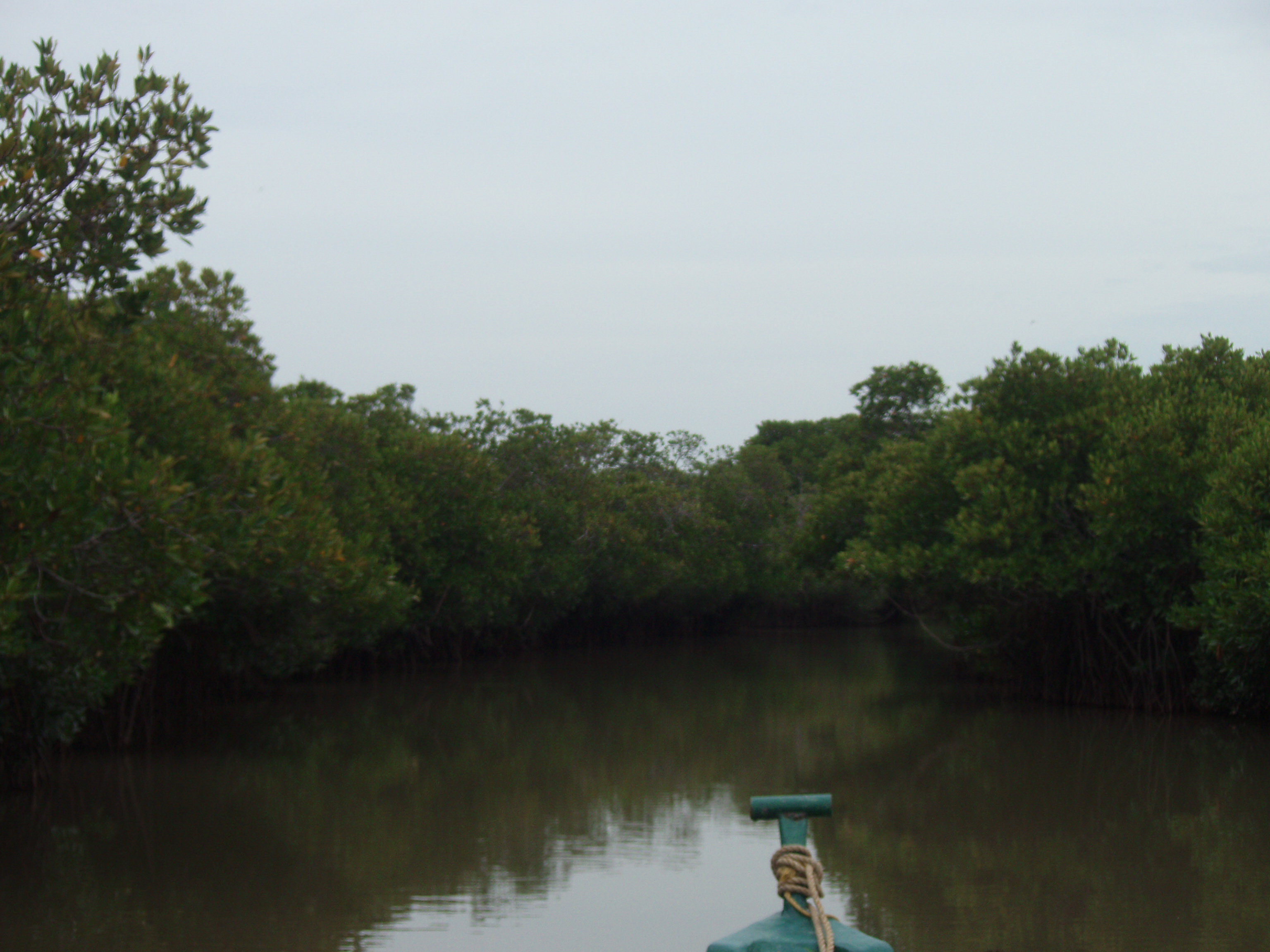 The Pichavaram forest is tide dominated with amplitude ranging from
0.5 to 1 m. Geomorphically, the area is mostly covered by floodplain, sedimentary plain and beach sand. Alluvium is dominant
in the western part whereas fluvial marine and beach sand covers the eastern part of the mangrove. Thirteen species of true
mangrove flora species are present in the area with Avicennia and Rhizophora as the most common and dominant.The Tsunami of
2004 has caused the deposition of offshore sediments containing heavy minerals and heavy metals to the mangroves.(Source-Ranjan
et al, 2007)
rajeshkranjan@gmail.com
|
